The Gather
We were approached to develop a series of maps for a bilingual documentary series for S4C called Y Hel / The Gather
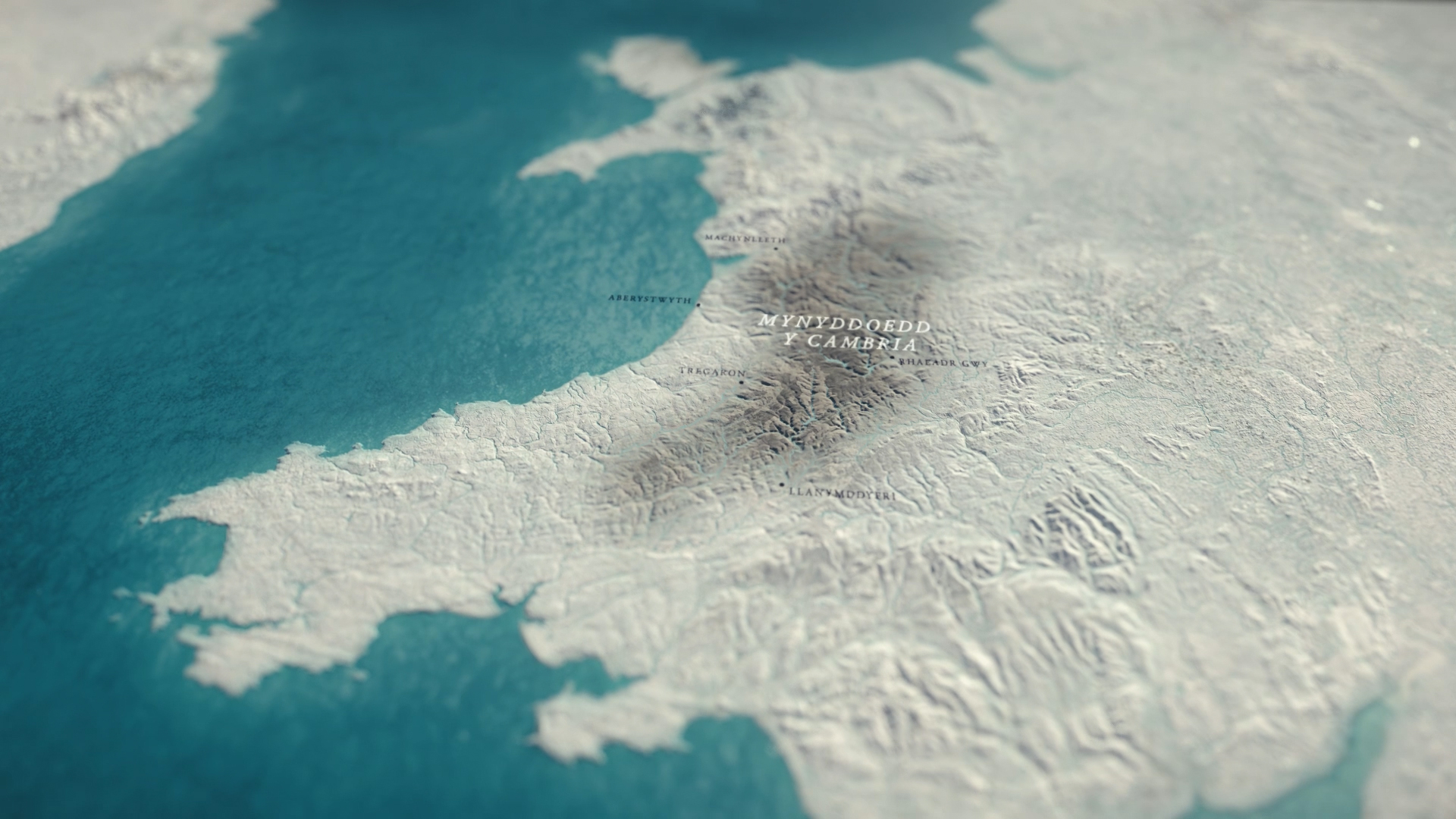
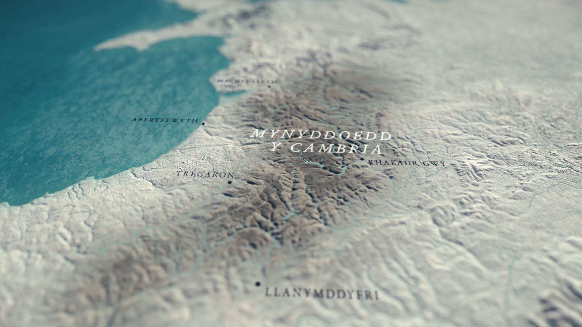
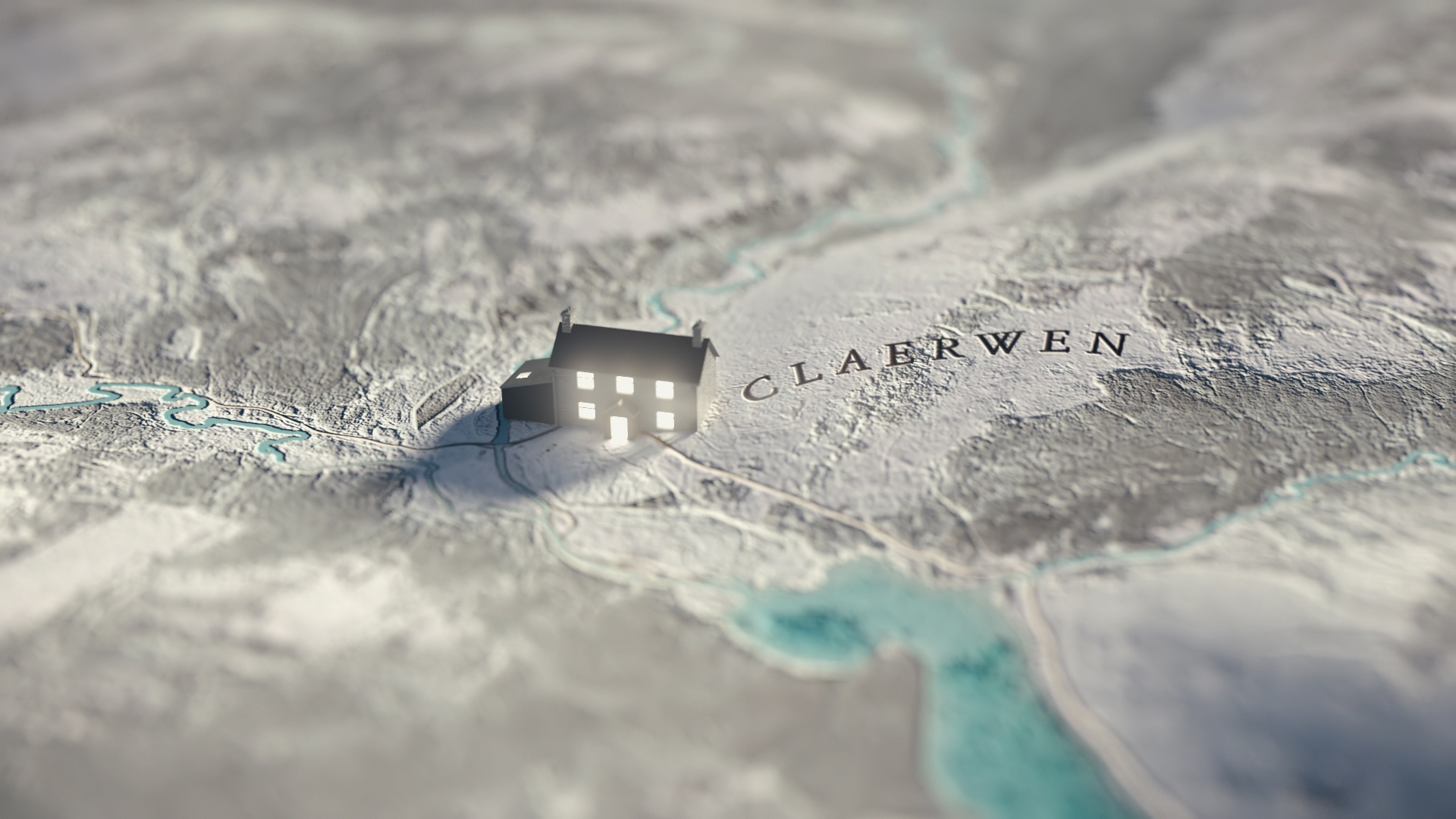
The series visits a community of hill farmers in the Cambrian mountains. For 800 years, firstly monks, and then families from different farms have worked together to round up huge flocks of rugged sheep who graze on the boundary-less and barren landscape otherwise known as ‘the Welsh desert’.
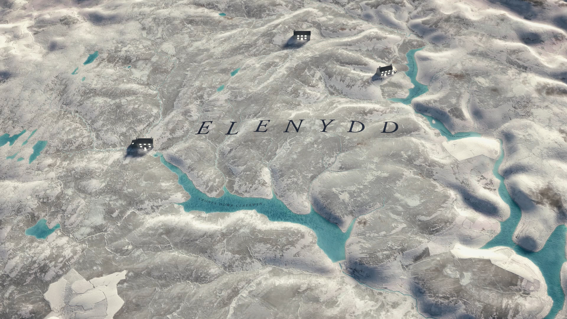
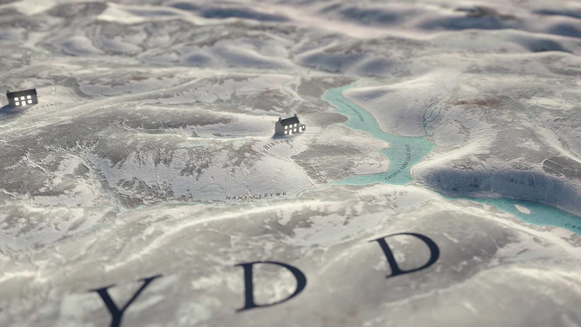
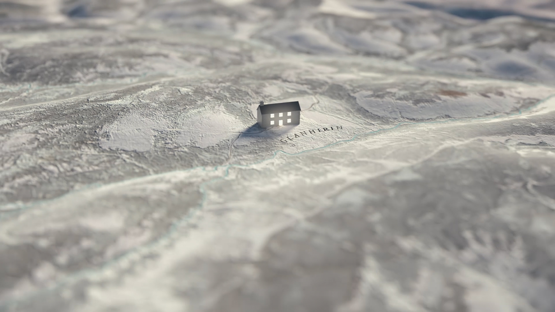
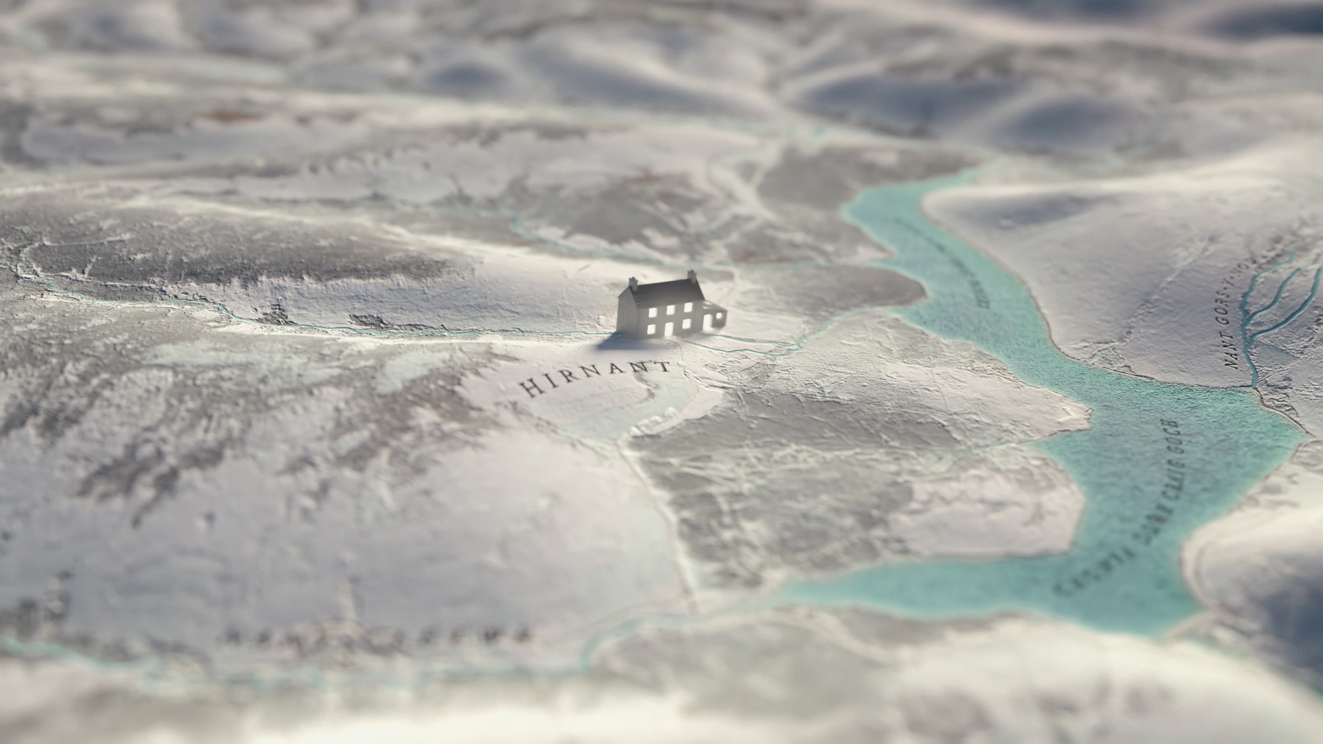
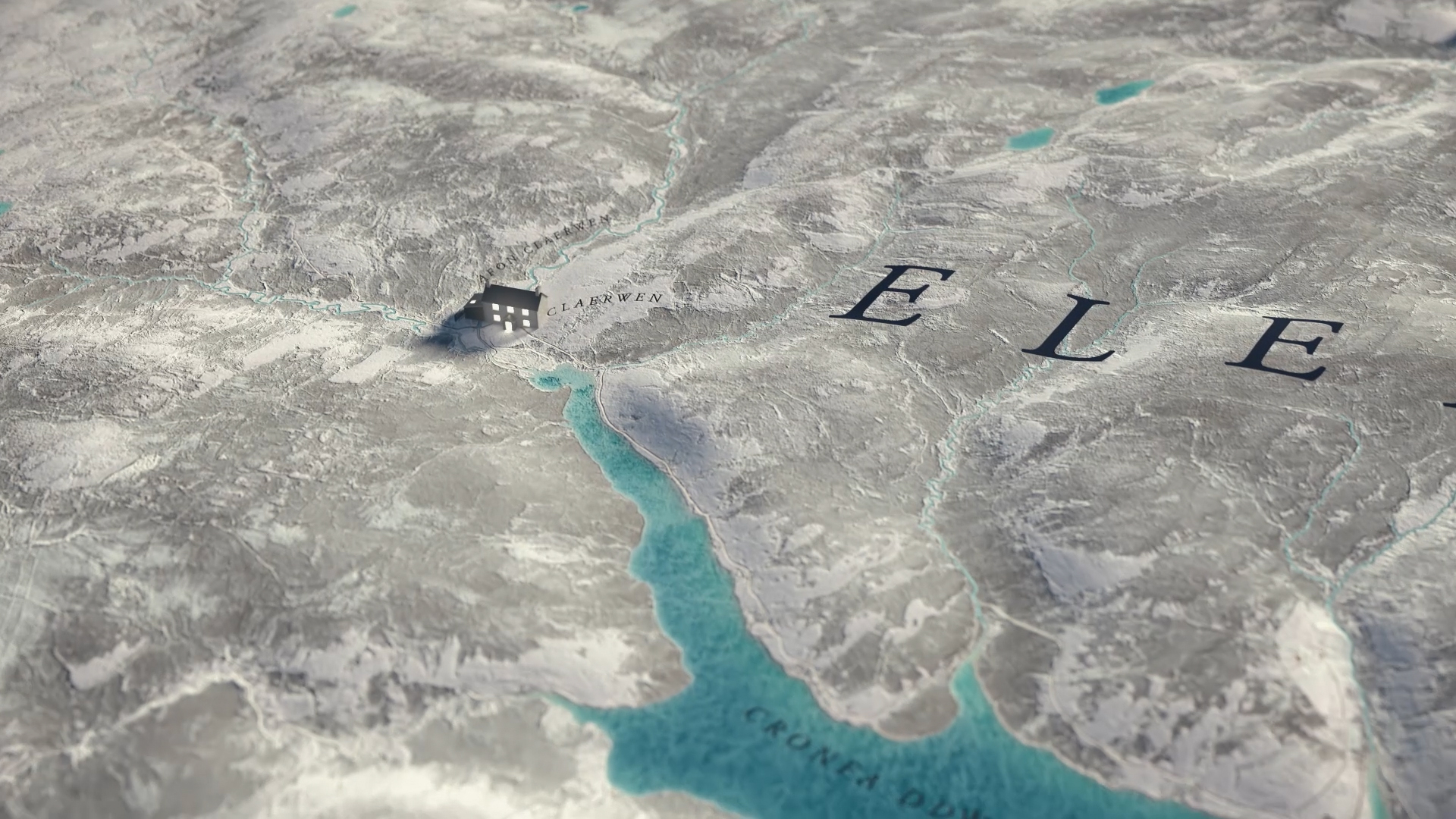
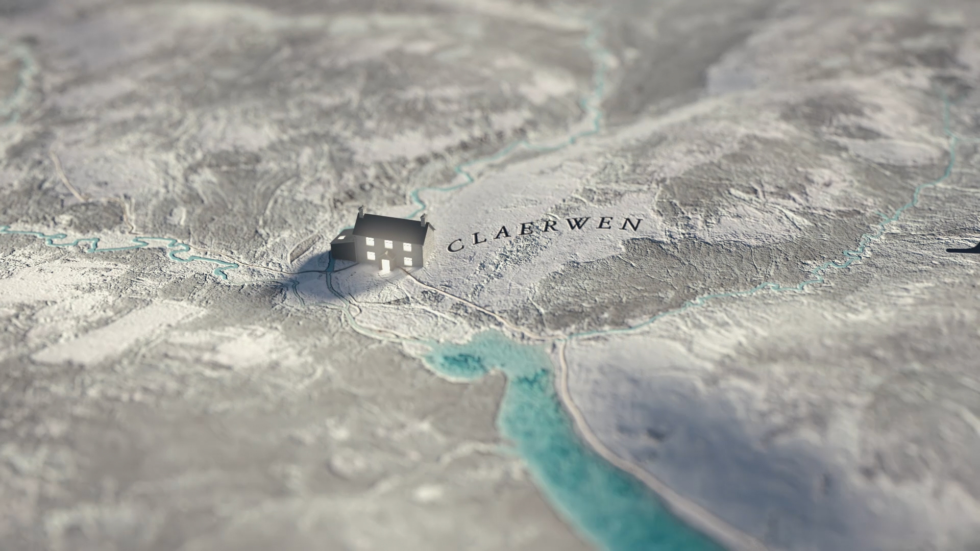
The maps help locate the Cambrian mountains within Wales and also the location and proximity of the three cooperating farms. Each farm is represented by oversized representations of the actual farmhouses. A welcome glow emanates from within each building accentuating the warm bonds portrayed in the series.
Overview map
Glanhirin
Hirnant
Claerwen